Get social
Himalayan Stove Project
Our Stoves
Domestic/Family Stove Program
Our philanthropic program is organized for efficiency in reaching the recipients of our domestic/family stoves in the most direct and cost effective manner.
We rely on our Himalayan Partners to identify and reach the people who will benefit the most from our stoves. Our Himalayan Partners have decades of experience (centuries in the case of the former Royal Family of Mustang), in serving “their” communities. They know their people and the needs.
They recommend and we, together, determine the quantities going to specific villages, and they arrange the transport logistics from our warehouse in Kathmandu – each situation is unique, and they have the expertise to handle it.
We have a wonderful Nepal partner, Jai Rajbhandari, who works with our Himalayan Partners.
Program Success
Progress of our program to date, and continuing need
Demand / need for our clean cookstoves in Nepal is vast – we estimate that over one million stoves are needed in the upper elevations alone, and as many as six million countrywide.
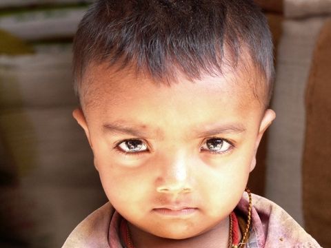
We have delivered more than 5,500 stoves – “only 994,500 to go” – and with the additional benefits of our institutional stoves and the earthquake relief work we did in 2015, we HAVE AFFECTED THE LIVES OF MORE THAN 50,000 PEOPLE! How much is 50,000 people? It would exceed the capacity at the Houston Astros Stadium – that’s a LOT of people!
Domestic Stove
This is the basic stove that our Himalayan Partners deliver and install – it uses biomass fuel – the same fuel presently being used – wood, dung, crop waste – just a lot less – fuel savings of up to 75% and, with the chimney system we fabricate in Nepal, Household Air Pollution (HAP) is reduced by 90%
Share the Air Pollution Infographic On Your Site
Air Pollution is the single largest global environmental health risk.
HOUSEHOLD AIR POLLUTION (HAP) FROM COOKING OVER AN OPEN FIRE KILLS 4.3 MILLION PEOPLE EVERY YEAR … MORE THAN HIV, MALARIA, AND TB COMBINED.
Please include attribution to http://www.himalayanstoveproject.org/ with this graphic.
Embed This Image On Your Site (copy code below):
<div style="clear:both"><a href="http://www.himalayanstoveproject.org/our-story/"><img src="https://www.himalayanstoveproject.org/wp-content/uploads/2014/05/0506-HSP-IG-Web640px.jpg" title="Indoor Air Pollution" alt="Indoor Air Pollution" width="640" border="0" /></a></div><div>Courtesy of: <a href="http://www.himalayanstoveproject.org/">Himalayan Stove Project</a></div>
* Infographic by Lemonly
Where Our Stoves Have been Delivered
This charming, colorful map of Nepal (created by one of our friends and supporters in Nepal for his own business) shows the general areas where we have delivered stoves to date.
To give this some scale, Nepal is about 300 miles long, and 75 miles wide – it is almost exactly the size of Florida (without the panhandle), and is home to roughly 30,000,000 people – when we first visited in 2001, the population was 19,000,000. It is principally an agricultural economy, but cannot grow / produce enough food for the existing population. There is very little industry, and approximately 25% of the country’s GDP comes in the form of remittances from Nepali’s who have left the country to find work elsewhere – principally in Asia and the Gulf States.
As you see, we’ve covered a substantial part of the country.
Beginning in a region at the far east of Nepal, on the border with India (formerly Sikkim at this location); near Darjeeling, and Kangchenjunga (3rd highest mountain in the world – first summit in 1955; two years after Hillary & Tenzing summitted Everest; by George Band (who was on the Everest Expedition, and Joe Brown).
Moving towards the west, we go along the Himalayas, past Everest and eventually to Mustang, a former mini-kingdom, still administered by the former Royal Family who are direct descendants of the founder in the 1580’s.
Nepal Map created by Tenzin Norbu – Dolpo & Kathmandu Nepal – used with permission
Ready to Make a Difference?
Useful Links
Contact info
info@himalayanstoveproject.orgPO Box 3648
Taos, NM 87571
info@himalayanstoveproject.org
PO Box 3648
Taos, NM 87571
Be in the know - sign up for our newsletter
Contact Us
Thank you for contacting Himalayan Stove Project. You have been successfully subscribed to our newsletter!
Registered 501(c)(3). EIN: 86-1044567
Website by eFlow